Electromagnetic locating
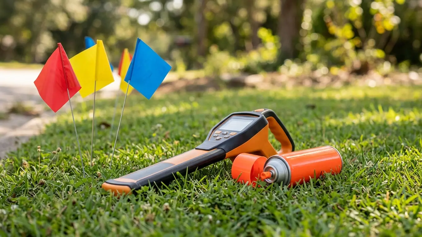
A locator sends a signal into a metal line or a tracer wire, and a receiver above ground picks it up. The operator follows the signal and marks it with paint or flags. Plastic pipe without tracer wire cannot be found this way.
Ground-penetrating radar
Radar sends pulses into the ground and shows reflections from objects. It can find plastic pipe and voids, but soil type affects accuracy, and clay can limit its range.
Reading the marks
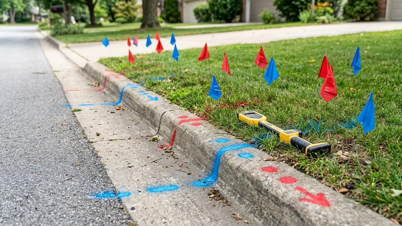
Paint lines show the approximate path, and flags mark points. Color shows the utility. Arrows and letters can show direction and size. Marks have a width; the line may be anywhere within a margin each side.
Limits of locating
Locators give an approximate path, not an exact depth. Signals can bleed onto nearby metal and give false marks. Old abandoned lines and unmarked private lines can be missed.
Confirming by potholing
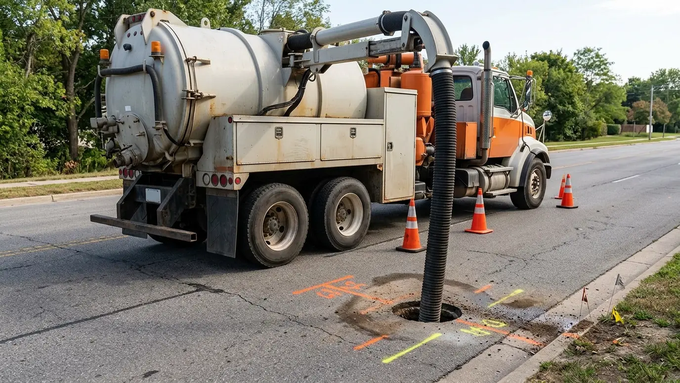
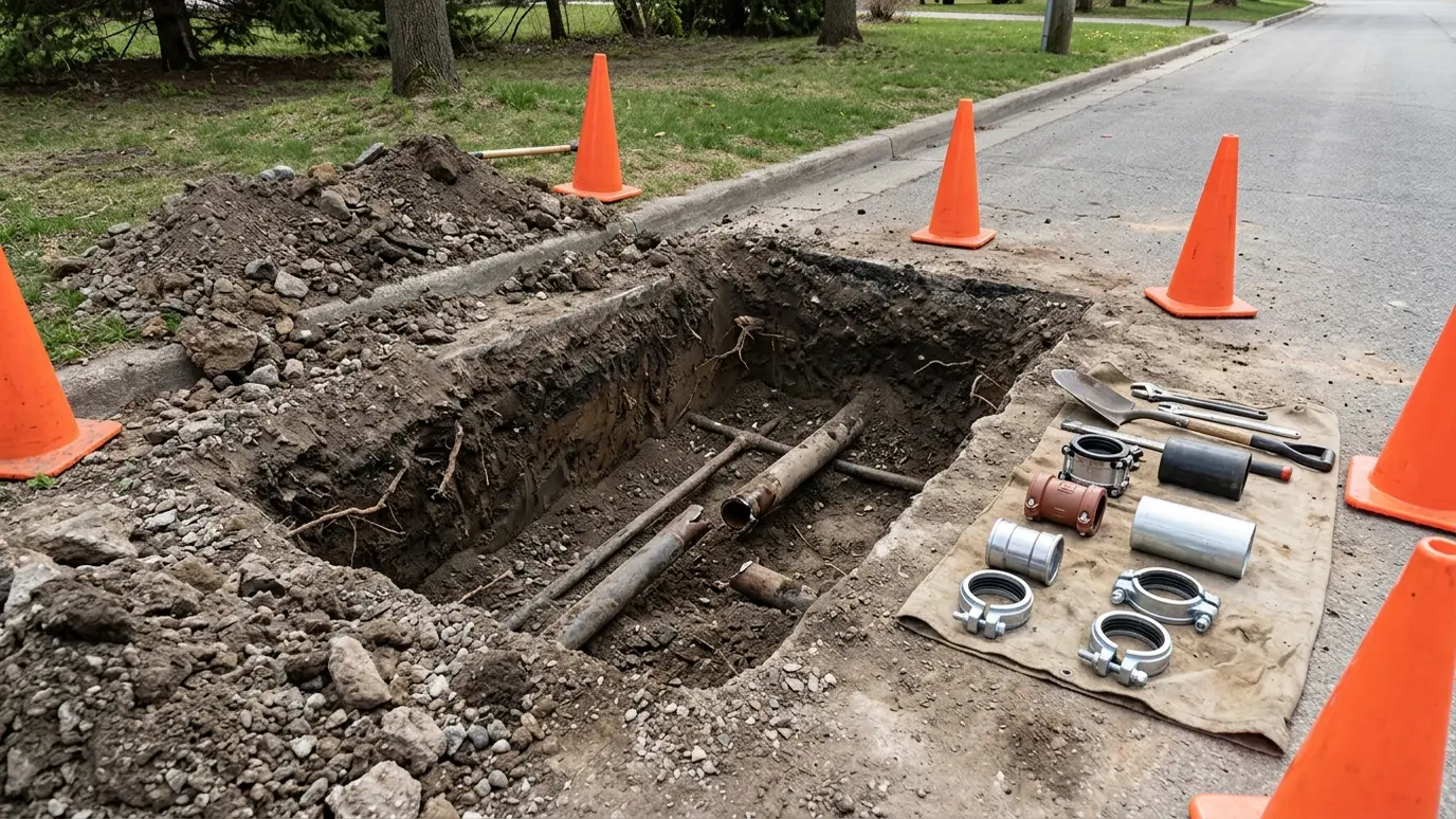
The only way to see a line is to expose it. Potholing shows its true depth and position, and confirms the locator.
Keep your own records
Photograph the marks before they fade and note the ticket numbers. A record of the marked lines helps if there is ever a dispute.
Treat marks as approximate, hand dig near them and pothole where it matters.